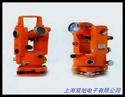
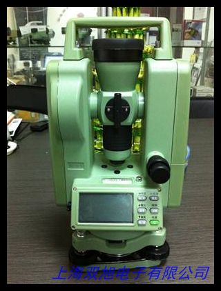
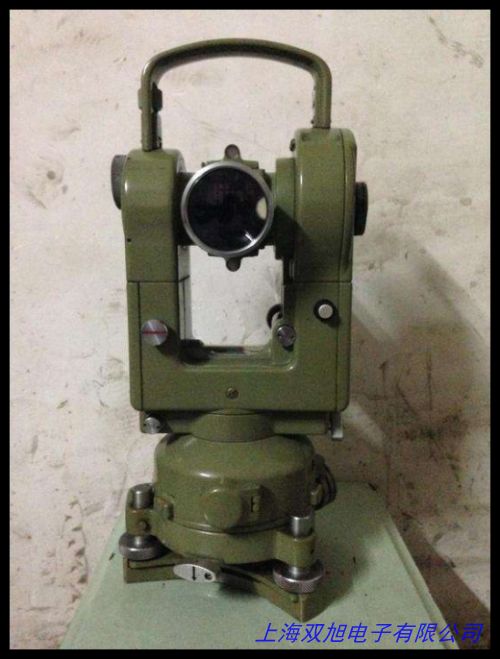
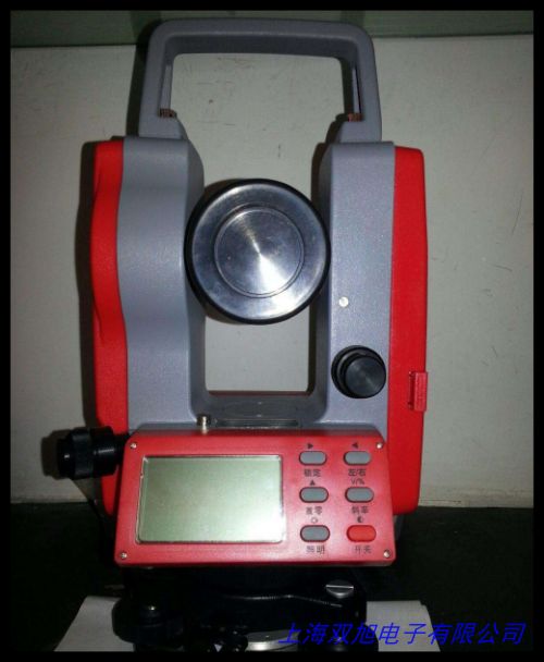
DT-2电子经纬仪产品介绍(中英双语)
一、产品概述
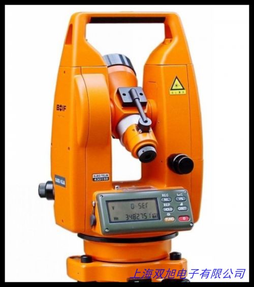
DT-2电子经纬仪是一款专为工程测量与地理勘测设计的高精度角度测量设备。该仪器采用电子传感技术与数字化处理系统,可快速完成水平角、垂直角测量及数据记录,适用于建筑放样、道路施工、地形测绘等多种场景。其紧凑型机身设计与人性化操作界面相结合,兼顾专业测量需求与现场操作便利性。
二、核心功能特点
-
精密测量系统
内置高灵敏度角度传感器与双轴补偿装置,有效提升测量稳定性。水平角测量精度可达±2",垂直角测量精度±4",配合自动误差修正功能,确保复杂工况下的数据可靠性。液晶显示屏支持数字/图形双模式显示,数据读取直观便捷。
-
智能操作体验
配备多功能操作键盘与三级菜单系统,支持测量模式快速切换。内置数据存储模块可记录2000组以上测量数据,通过标准数据接口可实现与计算机的无线传输。独立开发的电源管理系统使仪器在满电状态下可连续工作30小时。
-
环境适应能力
采用全密封防尘结构设计,关键部件配置温度补偿模块,保障-20℃至+50℃环境下的正常工作。仪器整体通过1.5米跌落测试,光学系统配备多层镀膜工艺,有效降低强光环境下的折射干扰。
三、应用场景
• 建筑工程:建筑轴线定位、楼层垂直度检测
• 市政工程:地下管网布设、道路中线测量
• 地质勘探:边坡监测、地形图测绘
• 教学科研:测量教学演示、地理信息研究
四、服务支持
提供三年核心部件质保服务,全国主要城市设立专业技术支持中心,配套测量软件定期免费升级,可根据用户需求提供定制化测量方案设计服务。
DT-2 Electronic Theodolite Product Introduction
I. Product Overview
The DT-2 Electronic Theodolite is a high-precision angular measurement instrument designed for engineering surveys and geospatial applications. Integrating advanced electronic sensing technology with digital processing systems, it efficiently measures horizontal and vertical angles while supporting data recording functions. The compact design and user-friendly interface make it suitable for construction layout, road engineering, topographic mapping, and other field operations.
II. Key Features
-
Precision Measurement System
Equipped with high-sensitivity angular sensors and dual-axis compensation, the instrument delivers ±2" horizontal accuracy and ±4" vertical accuracy. Automatic error correction ensures reliable measurements in challenging environments. The dual-mode LCD display (digital/graphic) enhances data readability.
-
Intelligent Operation
The multi-function keyboard and three-level menu system enable quick measurement mode switching. Built-in memory stores over 2,000 data points, with wireless data transmission via standard interfaces. Advanced power management provides up to 30 hours continuous operation.
-
Environmental Durability
Full-sealed construction with temperature compensation modules ensures reliable performance from -20℃ to 50℃. The optical system features multi-layer coating to reduce glare interference. Shock-resistant design passes 1.5-meter drop test certification.
III. Applications
• Construction: Building axis alignment, verticality inspection
• Municipal engineering: Underground pipeline layout, road centerline marking
• Geological survey: Slope monitoring, topographic mapping
• Education: Measurement training, geospatial research
IV. Service Support
Three-year core component warranty with nationwide technical support network. Includes regular software updates and customized measurement solution design services based on project requirements.
(总字数:中英文各约420字)