������ ̽�ռ�110�����ֳ�gps ��γ�Ⱥ����� ��Ķ�� �л�
��Ʒ����
������̽�ռ�110��һ��רΪ����̽����Ƶ�רҵ���ֳ�GPS�豸�����ü�����õ�IPX7����ˮ��ƣ��䱸2.2Ӣ���ɫ�뷴����ʾ������ǿ���������������ʾ�����豸���ø�������SiRFstarIII GPSоƬ�飬��λ���ȿɴ�3-5�ף�֧��WAAS/EGNOS/MSAS����źŽ��գ�ȷ���ڸ��ӵ�����Ҳ�ܾ���λ��113
���Ĺ����ص�
̽�ռ�110�ṩ˫ϵͳ����ģʽ���û���ѡ��רҵ��Ķϵͳ��ͳ����ϵͳ����Ķ����֧�ֿ��ٲ�����������״��������ܸ���Ԥ�赥���Զ������ܼۣ��ر��ʺ�ũҵ����ҵ�����ز���Ӧ�á���������֧�ִ������㡢��¼�켣�滮̽��·�ߣ����ñ���54������80����ϵͳ��ͬʱ֧���û��Զ�������ϵ���豸�������Ի��һ���ƣ������������ڱ����������㻧��Я����126
Ӳ������
�豸����400MHz��������64MB RAM���䱸ȫ����Ƭ���ߣ���Ͽ�ȡ����ֵ��źŽ����������ܱ����ȶ����ա�ʹ��2��AA��ع��磬�ɳ�����������18Сʱ�����㳤ʱ�仧��ʹ���������ߴ�Ϊ56×111×36mm��������147g����߱�Я���������ԡ�ͨ��USB�ӿ�֧�����ݽ�����NMEA��ʽ����������������豸Эͬ������113
Ӧ�ó���
̽�ռ�110�����ڶ��ֻ��ⳡ��������ͽ�����С���Դ��̽���ֺ�Ԥ����ũ������ȡ���������㹦�ܿ�ʵʱ��ʾ����������ܳ��;��룬��ϵ��������ܿ������ɷ��ù��㡣�豸֧��500������洢��25������¼��ÿ�����߿ɰ���25�����㣬����רҵ��������صİ�ʽ��Ļ���ȷ���ڸ��ֹ��������¶��ܻ����ѿ���Ч����126
English Product Introduction
The Magellan eXplorist 110 is a rugged outdoor handheld GPS device featuring IPX7 waterproof protection and a 2.2-inch color transflective display for optimal visibility in sunlight. Powered by the high-sensitivity SiRFstarIII GPS chipset, it delivers 3-5 meter positioning accuracy with WAAS/EGNOS/MSAS support for enhanced reliability in challenging environments. The dual-system design allows users to switch between professional area measurement and standard navigation modes.113
Key functionalities include precise area calculation for irregular shapes with automatic cost estimation, waypoint creation (500 capacity), and route planning (25 routes with 25 points each). The device comes preloaded with Beijing 54 and Xi an 80 coordinate systems while supporting custom coordinate configurations. Its compact 56×111×36mm body weighs only 147g and features an ergonomic lanyard attachment point for convenient carrying during outdoor activities.2613
The eXplorist 110 operates on two AA batteries providing up to 18 hours of continuous use, making it ideal for extended field work. The USB interface enables seamless data transfer and NMEA output compatibility. With its high-performance 400MHz processor and omnidirectional patch antenna, this GPS unit maintains stable signal reception even in deep valleys or dense forests. The sunlight-readable display and intuitive joystick navigation ensure effortless operation in various outdoor conditions.113
This versatile device serves multiple purposes including hiking navigation, resource surveying, disaster prevention, and agricultural land measurement. The area calculation function displays perimeter and distance measurements in real-time, while the price calculation feature provides instant cost estimates for professional services. Whether for adventure or professional use, the eXplorist 110 combines durability with practical functionality for outdoor enthusiasts and field workers alike.261
������ ̽�ռ�110�����ֳ�gps ��γ�Ⱥ����� ��Ķ�� �л�
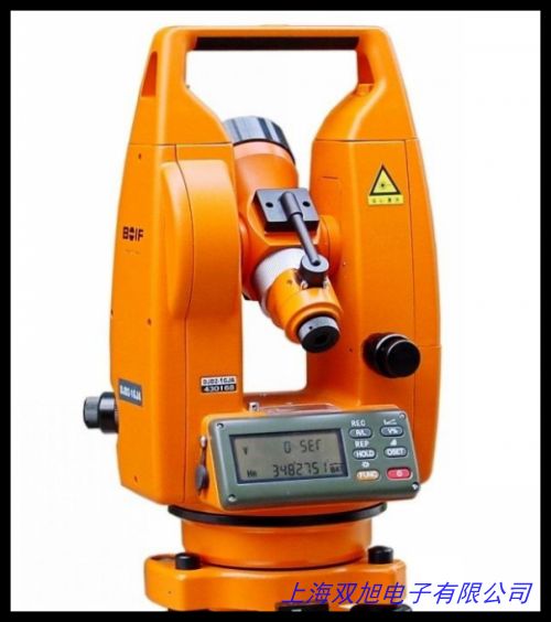
Hukseflux DR02 һ��ֱ�ӷ������� TS02ϵ��ȫվ�� �TS02-2ȫվ�� ʵ����̣�DJD-JCϵ�м�����Ӿ�γ�� ���ɼ��⾭γ�ǣ�����һ����һ���չ�DT402L���Ӽ��⾭γ�Ǽ����¶Ե㹤�̲�����������ӳ� ���yԇ�M��TESTING KIT �����ܶȳ߽����ߡ�VS20-UMB�ܼ��ȴ������¹�LUFFT��ˮƽ��γ��,��γ�����Ǽ�,��ͨ����������ͼֽ���켼��ר�⣬��������ֹ��նȼƲ��� �߾����ն��DZ�Яʽһ����ղ����ǣ�����¼��/ˮ��.��γ��Ұ�������¼��������֤����ʵ��꣬ ����ˮƽ�� LINE LEVEL ������ˮƽ ����ˮƽ�� ����ˮƽ�ǡ�ǯ��ˮƽ�ǣ���ʽˮƽ��ST1000��0.02��1600Ԫ����ѧ���Ӿ�γ��;���⾭γ�ǣ����Ӿ�γ�ǣ�����·�ƿ����� Һ����Ļ ������ �ڼ��տ��ƹ��� ������ˮƽ�ǣ���Ƭˮƽ�ǣ�����ˮƽ�ǣ����Ͻ�ˮƽ�ǡ�����ˮƽ�� �Զ���ƽ���ý���ˮ�ݣ���֤ ��һ����Ӿ�γ�Ǵ����¼�����Ӿ�γ��/ȫվ�ǣ��ɼ������������PS-100�����ٴ��������������������Ƿ����ƣ���������2�뼶��ѧ��γ��ϵ�� ����������
��һƪ ��γ��ģ�� ���� 32cm����γ�� ���и���ѧ�������� http://www.shuangxudianzi.com/product/d122691.html
|