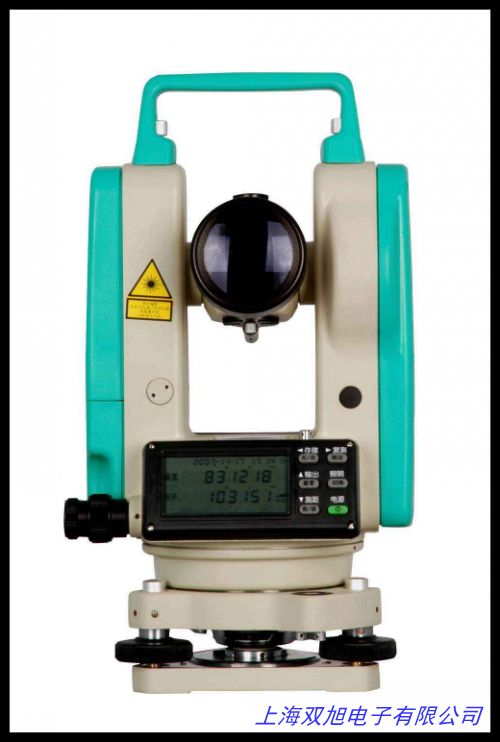
哈尔滨哈光DZL-1G型GPS本安型电子罗盘是一款集成锂电池供电、卫星定位与方向检测功能的多用途设备,适用于工业测量、户外勘探及导航辅助等领域。产品采用模块化设计,在紧凑机身内实现多技术协同工作,为复杂环境下的方位识别与位置追踪提供可靠解决方案。
产品内置高灵敏度GPS接收模块,支持多卫星系统联合定位,可快速获取经纬度信息并输出标准格式数据,定位精度满足常规作业需求。电子罗盘模块通过三维磁感与加速度传感器融合算法,有效降低金属干扰对方向测量的影响,在静止或移动状态下均可输出稳定的航向角、俯仰角及横滚角数据。设备配备大容量锂聚合物电池,支持连续工作超过20小时,并配置智能电源管理系统,可实时监测剩余电量并通过LED指示灯直观显示,充电接口采用通用Type-C规格,兼容主流充电设备。
机身采用轻量化工程塑料与铝合金框架结构,表面经防滑耐磨处理,具备IP54级基础防护能力,可适应-20℃至60℃环境温度。操作界面配备1.5英寸液晶显示屏,支持中英文双语切换,通过三键组合实现功能设置与数据查看。设备提供标准数据接口,可通过蓝牙或USB方式与智能终端连接,配套应用程序支持轨迹记录、数据导出及参数配置功能。
在应用场景方面,该设备可为地质勘探人员提供实时方位参考,辅助测绘人员完成坐标采集,也可作为无人机、无人船等智能设备的辅助导航模块。人性化的挂绳孔设计与磁吸式背板适配多种安装方式,便于随身携带或固定于作业平台。
English Version:
The Harbin Haguang DZL-1G GPS Intrinsically Safe Electronic Compass is an integrated device combining lithium battery power supply, satellite positioning and directional detection capabilities. Designed for industrial measurement, field exploration and navigation assistance, its modular architecture enables multi-technology collaboration within a compact housing, delivering reliable orientation and tracking solutions in challenging environments.
Equipped with a high-sensitivity GPS receiver module supporting multi-constellation positioning, the device rapidly acquires latitude/longitude coordinates with standard NMEA data output. The electronic compass module employs 3-axis magneto-inductive sensors fused with accelerometer data, effectively minimizing metallic interference to ensure stable heading, pitch and roll measurements during static or mobile operations. Powered by a high-capacity lithium polymer battery, the unit delivers over 20 hours of continuous operation, featuring intelligent power management with real-time battery monitoring through LED indicators. The Type-C charging interface ensures compatibility with mainstream adapters.
Constructed with lightweight engineering plastics and aluminum alloy framing, the dust-resistant and splash-proof housing (IP54-rated) withstands temperatures from -20℃ to 60℃. The 1.5-inch LCD display with bilingual interface allows parameter configuration via three-button navigation. Dual data transmission channels (Bluetooth 4.0/USB 2.0) enable seamless connectivity with mobile devices, while companion software supports track logging, data export and system setting adjustments.
Practical applications include providing real-time azimuth references for geological surveys, assisting cartographers in coordinate collection, and serving as auxiliary navigation modules for UAVs/USVs. The ergonomic design incorporates lanyard hooks and magnetic mounting plates for flexible deployment options. With optimized energy consumption and adaptive filtering algorithms, the device maintains operational stability across diverse terrain conditions, making it suitable for prolonged field operations requiring precise orientation and positioning capabilities.