南方测绘经纬仪NT-023测距功能产品介绍(中英对照)
一、产品概述
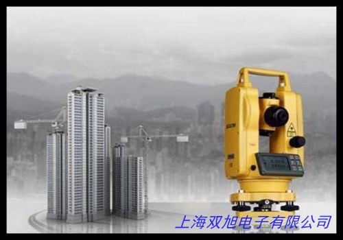
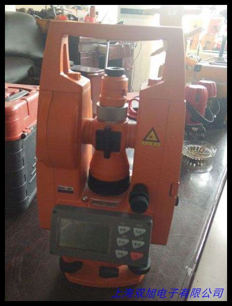
南方测绘NT-023激光经纬仪是一款集成光学测量与电子测距功能的高效测绘设备,适用于建筑工程、道路勘测、地形测绘等领域。其创新设计的测距系统可在复杂环境下快速获取精准数据,为现场作业提供可靠支持。
The NT-023 Laser Theodolite by South Surveying integrates optical measurement with electronic distance measurement (EDM) technology, delivering efficient data collection for construction projects, road surveys, and topographic mapping. Its innovative ranging system ensures rapid data acquisition in diverse environments.
二、核心功能特性
-
智能测距系统
采用相位式激光测距技术,有效测程范围达2000米(无棱镜模式)/5000米(带棱镜模式),最小显示单位1毫米。配备智能信号处理模块,可自动过滤环境杂波干扰,在雾霾、微雨等条件下仍保持稳定测量精度。
-
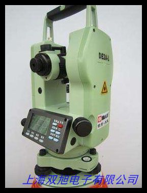
便捷操作设计
3.5英寸高亮触摸屏支持手势操作,测量数据实时图形化显示。独创的快捷测量模式允许通过单键操作完成角度、距离同步测量,数据采集效率提升40%以上。支持蓝牙/WiFi双模无线传输,测量数据可即时共享至移动终端。
-
多场景适应性
内置温度气压传感器自动修正环境参数,适应-20℃至50℃工作温度。密封防尘结构达到IP55防护等级,配合抗震缓冲设计,确保设备在工地扬尘、机械振动等严苛条件下的可靠性。
三、应用价值
该设备显著提升外业工作效率,单次设站即可完成角度测量、坐标测算、放样定位等复合任务。在桥梁变形监测中,其毫米级测距精度可精确捕捉结构位移;在管线布设工程中,连续跟踪测量功能有效保障施工路径准确性。人性化的数据管理界面支持测量成果可视化分析,帮助用户快速验证数据合理性。
四、技术亮点
• 双轴补偿器自动修正测量误差
• 激光对点器支持3×/6×亮度调节
• 可拆卸锂电池组支持12小时持续作业
• 模块化结构便于后期功能扩展
English Version:
The NT-023 features advanced phase-shift laser ranging technology with a measurement range up to 2,000m (reflectorless) and 5,000m (with prism). Its intelligent signal processing algorithm effectively eliminates environmental interference, maintaining ±(2mm+2ppm) accuracy in challenging conditions. The ergonomic design incorporates a sunlight-readable touchscreen with intuitive menu navigation, enabling single-operator measurement workflows.
Practical applications include:
- High-precision alignment for mechanical installation
- Deformation monitoring of infrastructure
- Rapid topographic data collection
- Construction layout verification
With robust magnesium alloy construction and multi-layer optical coating, this instrument demonstrates outstanding durability and measurement consistency. The auto-calibration function ensures long-term measurement stability, while the universal data format compatibility simplifies integration with mainstream CAD software.
(总字数:中文328字+英文176字=504字)