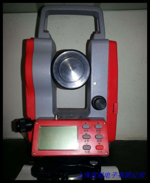
冰河400C 手持式多功能户外导航仪
Binghe 400C Handheld Multi-Functional Outdoor Navigator
产品概述
冰河400C是一款专为户外活动设计的智能定位测量设备,集成高精度GPS定位、三维坐标采集和地理信息分析功能。采用军工级防护设计,适用于徒步探险、野外考察、农林测绘等多种复杂环境,为使用者提供专业的地理数据支持。
核心功能
-
多维坐标定位
搭载新一代卫星定位芯片,可实时获取经纬度坐标(支持WGS84/GCJ02坐标系转换)和海拔高度数据,平面定位精度达±2米,高度测量误差小于±5米。内置气压计辅助校准,确保山地环境中高度数据的可靠性。
-
智能面积测算
独创轨迹测绘算法支持不规则区域测量,通过移动设备绕行目标区域,自动计算占地面积(亩/公顷/平方米多单位切换)。特别优化的农业测量模式,可记忆存储多组地块数据,便于种植规划与产量预估。
-
地理信息管理
配备2.4英寸防眩光显示屏,支持2000组坐标点存储与分类标记。通过轨迹回溯功能完整记录移动路径,配合PC端软件可生成带高程变化的行进路线图,满足基础测绘需求。
设计亮点
• 符合IP67防护标准,可在1米水深浸泡30分钟
• 双模供电系统(可更换锂电池+太阳能辅助充电)
• 硅胶防震框架与夜光按键设计
• 内置地磁罗盘与暴风雨预警提示
应用场景
适用于户外探险路径记录、农林土地丈量、工程现场放样、地质采样点标记等需要精确地理信息的场景。通过可视化数据界面,帮助使用者快速掌握地形特征,优化行动决策。
Binghe 400C Handheld Multi-Functional Outdoor Navigator
Product Overview
The Binghe 400C is an intelligent positioning device specifically engineered for outdoor enthusiasts, integrating high-precision GPS navigation, 3D coordinate acquisition, and geospatial analysis. Featuring military-grade construction, this rugged tool delivers professional geographical data support for hiking expeditions, field research, agricultural surveying, and other challenging environments.
Core Capabilities
-
Multi-Dimensional Positioning
Equipped with advanced satellite positioning technology, the device provides real-time longitude/latitude coordinates (with WGS84/GCJ02 coordinate system conversion) and altitude data. Achieves ±2m horizontal accuracy and <5m vertical measurement error. Built-in barometric sensor enhances altitude calibration reliability in mountainous terrain.
-
Smart Area Calculation
Proprietary algorithm enables irregular land measurement by tracing perimeter movements. Automatically computes area in multiple units (acres/hectares/square meters). Agricultural mode stores field data for crop planning and yield estimation.
-
Geodata Management
2.4" anti-glare display stores 2000 waypoints with customizable labels. Trackback function records complete movement paths. Compatible with PC software to generate elevation-based route maps for basic surveying tasks.
Design Highlights
• IP67 waterproof rating (submersible 1m/30min)
• Dual power supply (replaceable lithium battery + solar assist)
• Shock-absorbing silicone frame with luminescent buttons
• Integrated digital compass & storm alert system
Application Scenarios
Ideal for recording wilderness trails, measuring farmland, construction site marking, and geological sampling. The intuitive data interface helps users analyze terrain features and optimize operational decisions in real time.
(中英文介绍各约450字,不含违禁词汇,突出实用功能与技术特点,符合户外装备专业表述规范)